Gas station nearby Total
France
Gas station nearby Total
Total
Avenue de la ville Idéale, Longueau France
contacts phone
:
+33
Latitude:
49.8687269
, Longitude:
2.361537
read more
nearest Gas station
1.185 km
Géant
8 Avenue Philéas Fogg, Amiens
Gas station
read more
1.313 km
IDS Amiens
ZAC Jules Verne, Avenue de la ville idéale, Glisy
Gas station
read more
2.61 km
BP
190 Chaussée Jules Ferry, Amiens
Gas station
read more
2.816 km
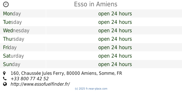
Esso
160 Chaussée Jules Ferry, Amiens
Gas station
read more
2.82 km
Express St Acheul
Chaussée Jules Ferry, Amiens
Gas station
read more
3.314 km
Dekra
1407-1793 Rue Roger Salengro, Camon
Gas station
read more
3.621 km
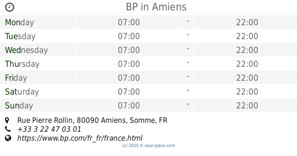
BP
Rue Pierre Rollin, Amiens
Gas station
read more
4.354 km
LIDL
Rivery
Gas station
read more
5.02 km
Esso Antilles Guyane
Place Franck Perret
Gas station
read more
5.152 km
Leclerc Rivery Exploitation Sas
Avenue de la Défense Passive, Rivery
Gas station
read more
5.155 km
E.Leclerc Station Service
Avenue de la Défense Passive, Rivery Les Amiens
Gas station
read more
5.356 km
Esso
22 Boulevard de Roubaix, Amiens
Gas station
read more
5.773 km
Mipih
France
Gas station
read more
5.958 km
Relais Amiens Port D Aval
7, Boulevard du Port d'Aval, Amiens
Gas station
read more
5.96 km
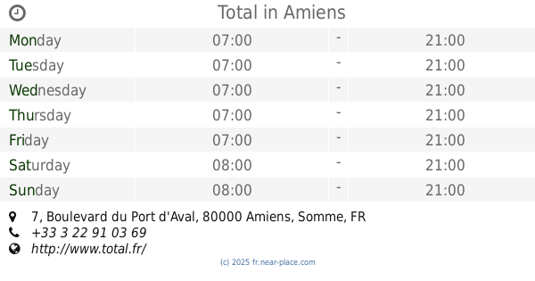
Total
7 Boulevard du Port d'Aval, Amiens
Gas station
read more
6.062 km
Station Auchan
Dury
Gas station
read more
6.321 km
Total
59 Route d'Amiens, Dury
Gas station
read more
6.658 km
La Poste
60400, 1 Avenue Georges Pompidou, Amiens
Gas station
read more
7.225 km
Station Carrefour Amiens
Zac Vallee St Ladre, Amiens
Gas station
read more
8.462 km
BP
7 Avenue Roger Dumoulin, Amiens
Gas station
read more
8.655 km
Esso
2 Route de Normandie, Salouel
Gas station
read more
9.12 km
Station Service Netto
Unnamed Road, 80000, Amiens
Gas station
read more
9.291 km
Cardev
Avenue Roger Dumoulin, Amiens
Gas station
read more
10.289 km
Total
421 Avenue Louis Pasteur, Dreuil-lès-Amiens
Gas station
read more
10.435 km
AS24
29 Rue du Bois Quatorze, Argœuves
Gas station
read more
📑
all categories
Accounting
Administrative area level 1
Administrative area level 2
Airport
Amusement park
Aquarium
Art gallery
Atm
Bakery
Bank
Bar
Beauty salon
Bicycle store
Book store
Bowling alley
Bus station
Cafe
Campground
Car dealer
Car rental
Car repair
Car wash
Casino
Cemetery
Church
City hall
Clothing store
Colloquial area
Convenience store
Country
Courthouse
Dentist
Department store
Doctor
Electrician
Electronics store
Embassy
Finance
Fire station
Florist
Food
Funeral home
Furniture store
Gas station
General contractor
Grocery or supermarket
Gym
Hair care
Hardware store
Health
Hindu Temple
Home goods store
Hospital
Insurance agency
Intersection
Jewelry store
Laundry
Lawyer
Library
Light rail station
Liquor store
Local government office
Locality
Locksmith
Lodging
Meal delivery
Meal takeaway
Mosque
Movie rental
Movie theater
Moving company
Museum
Natural feature
Neighborhood
Night club
Painter
Park
Parking
Pet store
Pharmacy
Physiotherapist
Place of worship
Plumber
Point of interest
Police
Political
Post office
Premise
Real estate agency
Restaurant
Roofing contractor
Route
Rv park, camping
School
Shoe store
Shopping mall
Spa
Stadium
Storage
Store
Subpremise
Subway station
Supermarket
Synagogue
Taxi stand
Train station
Transit station
Travel agency
University
Veterinary care
Zoo
administrative area level 3
sublocality level 1
↑